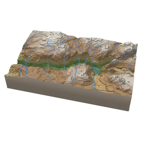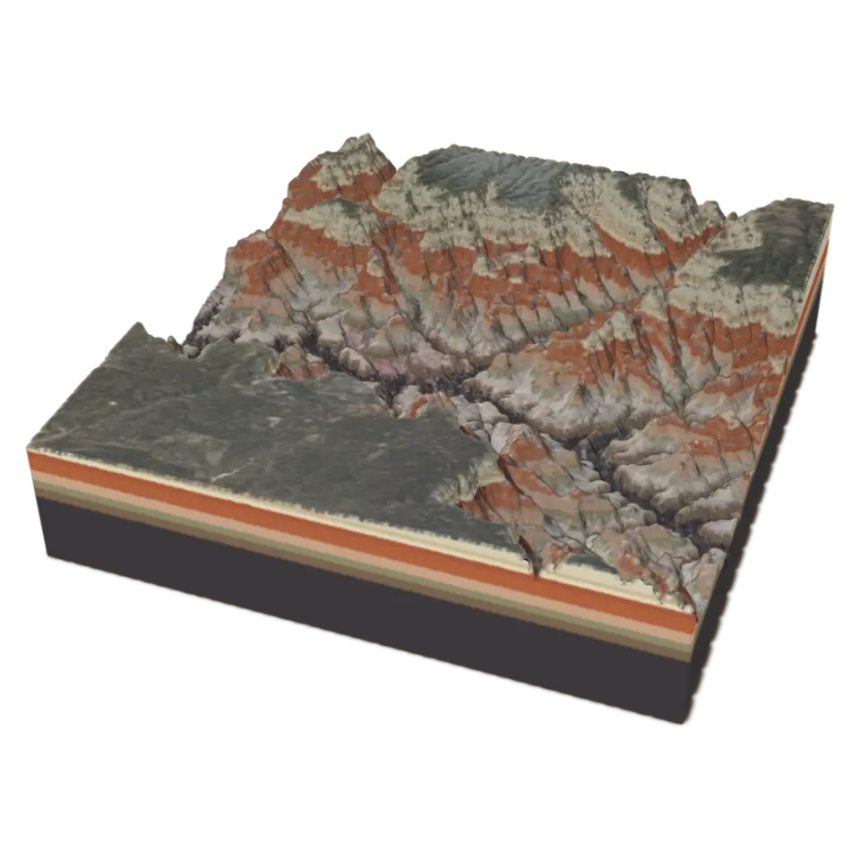
Grand Canyon. The same points, seen from the side. Drag down to look at it from above.
About 8 MB, on this tap only
Grand Canyon
The Grand Canyon in Arizona is about 1,800 meters (a mile) deep, cut by the Colorado River over the last five or six million years through layers of rock laid down over almost two billion years.
- Shelf
- Earth and Maps
- Kind
- Built from a recipe
- Sound
- Yes
- Licenses
- Public domain
How to play
Tap to flood the canyon from the river up, and watch it drain. Height in the Splash tab sets how tall it stands.
Its controls
| Control | Kind | Range | Start |
|---|---|---|---|
| Flood the canyon | Tap | ||
| Flood | Button | ||
| Height | List | 3 choices | Twice as tall |
About it
The Grand Canyon in Arizona is about 1,800 meters (a mile) deep, cut by the Colorado River over the last five or six million years through layers of rock laid down over almost two billion years. This block is a 20 by 20 kilometer piece around Grand Canyon Village, the Bright Angel and Garden Creek side canyons and the river below them. Its shape comes from the U.S. Geological Survey's 3D Elevation Program, and its colors from aerial photographs; the cut sides show the canyon's rock layers in their usual order, from the cream Kaibab limestone at the rim to the dark Vishnu schist at the bottom.
Tap it and water rises from the river until the canyon is half full, leaving the buttes as islands, then drains away. The flood is imaginary, a way to read the canyon's depth. Height in the Splash tab shows it at true scale or stretched up two or three times.
Details
- Splats
- Opens at 200,000 at Mid Detail, 148,804 at Low, and up to 930,000 at Max
Sources and credits
| Work | By | License |
|---|---|---|
| 3D Elevation Program (3DEP), The National Map | U.S. Geological Survey | Public domain |
| The National Map orthoimagery (NAIP and Landsat) | USDA Farm Service Agency, NASA and the U.S. Geological Survey | Public domain |